Preparation: Introduction
Australia and Antarctica were the last continents to be charted by European explorers. When Europeans first ventured south, the continents were imagined as a single ‘Great South Land’. It was an error that had some truth: these were the last land masses to separate during the break-up of the ancient supercontinent of Gondwana.
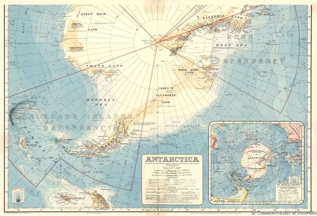
The conceptualising and definition of Antarctica was a slow and laborious process. The discovery of the Australian Antarctic Territory (AAT) is a subset of that story. James Cook defined the envelope for Antarctica during his second voyage in the Resolution in 1772 to 1775, when he circumnavigated the continent through the Southern Ocean, reaching south of 60°South in four areas, one south of Australia, and three times reaching below the Antarctic Circle.
Thaddeus von Bellingshausen repeated Cook’s circumnavigations, spending more time below 60°South and the Antarctic Circle in 1819 to 1821. John Biscoe, a captain seeking sealing prospects, saw land from Tula at the extreme western end of the AAT in January 1931, and the French explorer Dumont d'Urville in the Astrolabe sighted land south of Hobart in January 1840, the basis for the French claim to Terre Adélie, which separate the two parts of the AAT.
Also in 1840, the American Charles Wilkes sailed the Vincennes parallel to the coast of the AAT from near Cape Hudson to the Shackleton Ice Shelf and claimed several sightings of land. In the following year James Clark Ross in the HMS Erebus and HMS Terror penetrated the Ross Sea, and also sailed close to Terre Adélie.
The first landing of a human on the AAT was in 1902, when the German Eric von Drygalski in the Gauss wintered off Wilhelm II Land, and landed on the mainland and discovered the distinctive coastal nunatak, Gausberg.
Douglas Mawson organised the Australasian Antarctic Expedition of 1911 to 1914, and landed his Main Party at Cape Denison, Commonwealth Bay on 8 January 1912 …
— Michael Pearson, The Great South Land